Explore the ESPON TERRES Territorial Resilience Dashboard: concepts, statistics, maps, case studies, official reports, and more
ESPON’s Territorial Resilience Dashboard is now live — an interactive digital tool that allows users to explore how European regions respond to crises and build resilience using data, maps and case studies developed through the ESPON TERRES project.
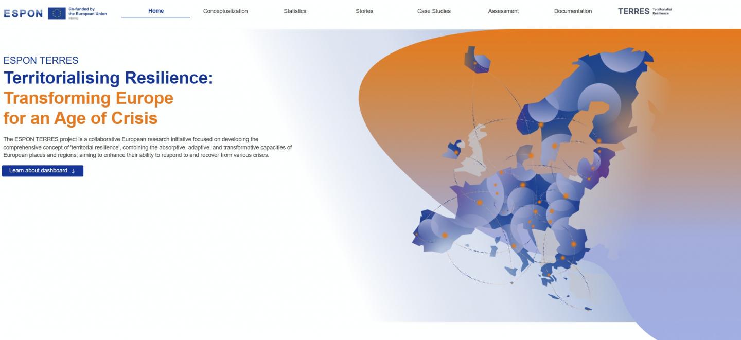
ESPON TERRES (Territorialising Resilience: Transforming Europe for an Age of Crisis) is a European research initiative that aimed to advance understanding of territorial resilience, not only how regions withstand and absorb shocks, but also how they adapt and transform in the face of multiple, overlapping crises such as climate change, pandemics, economic shocks and social vulnerability.
The Territorial Resilience Dashboard offers a comprehensive set of features for researchers, policymakers and practitioners:
- Conceptualisation of territorial resilience, including key definitions and analytical dimensions
- Interactive maps and visualisations showing resilience trends across European regions
- Comparative indicators that measure different dimensions of resilience (e.g., absorptive, adaptive, transformational capacities)
- Regional statistics and charts based on a robust set of territorial resilience data
- Case studies illustrating how specific regions cope with crises and strengthen resilience
- Official reports and methodological resources from the TERRES project, including guidance for using the dashboard and understanding the resilience framework
Funded under the ESPON 2030 Cooperation Programme, ESPON TERRES brought together a multidisciplinary consortium of researchers and stakeholders, including HÉTFA Research Institute, Nordregio, Politecnico di Torino (including R3C), Arup and Mcrit. The project developed a conceptual framework for territorial resilience, a core set of indicators, and policy recommendations to guide future territorial governance and strengthen resilience capacities across Europe.